History
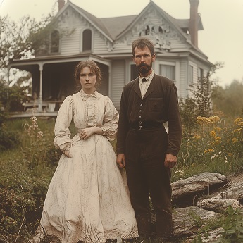
The CDT section south of Skull Bridge was homesteaded by several people: some from Mexico, and some were children of Mexicans and Jicarilla Apaches. The Apache homesteaders therefore had Spanish names.
The homestead closest to Skull Bridge was homesteaded by a man named Solomon Gallegos. He filed the homestead application papers on December 7, 1911, claiming 91 acres. He had an adobe house 20 feet by 15 feet, and about 3/4 of a mile of fencing.
The next homestead along the CDT was filed by Filogomo Gallegos, also on December 7, 1911. He claimed 141 acres, the land including the two long hills one passes along the trail. His adobe house (20 feet by 12 feet) was located at the mouth of El Rito del Oso Canyon, which is now called Ojitis Canyon.
Next is the homestead claimed by Manuel Valdez y Valdez, of 159 acres. They filed July 14, 1908. Their adobe house was 18 feet by 15 feet, and they had a fenced corral 60 feet square. That canyon had once been named Canyon de los Caminos, and is now Canada Gurule.
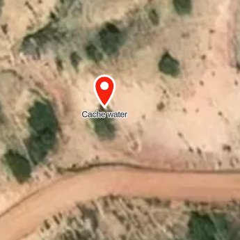
Followed by the 121 acres claimed by Antonia Jesus Delgado. This had the best water in the area, at what is now called Ohjitos Spring. He filed in August of year 1909.
There were three other homesteads in the area. One had pack horses, and supplies were acquired by going to Youngsville along what is now that section of the CDT, over Mesa Alta.